More than 1,000 previously uncharted coral reefs have been discovered and mapped in northern Australia by a team of Australian Institute of Marine Science (AIMS) researchers – without them having to leave their offices.
Until now little of the northern Australian coastline had been surveyed, and maritime charts failed to distinguish between coral and rocky reefs because they had been devised only to warn vessels of obstructions.
The coral reefs have turned out to be habitats for a wide range of marine life. Some might have been known to local people but they were typically hidden in sediment-rich waters – and none had been considered in terms of conservation and development planning.
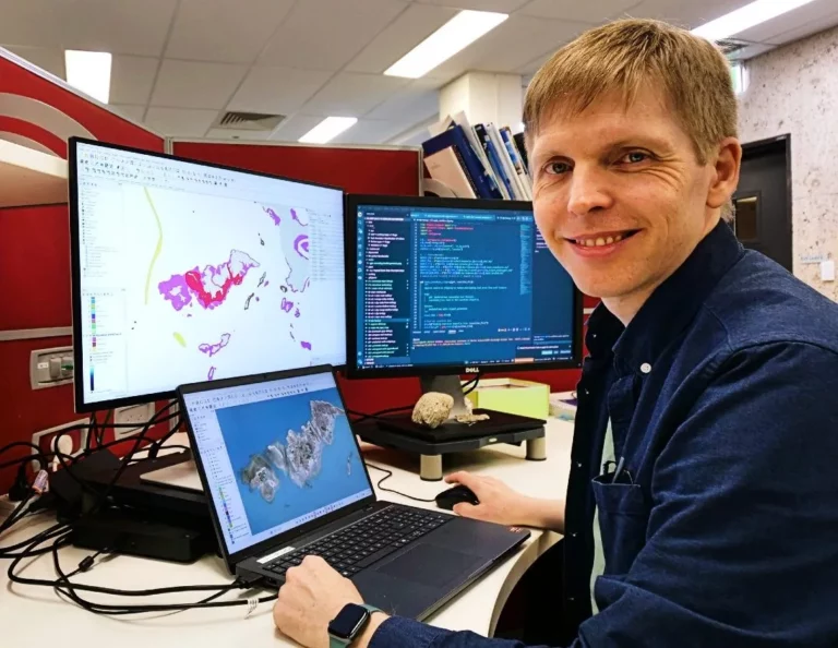
The reefs were unveiled by the Marine & Coastal Hub Project, led by AIMS and run in partnership with the University of Queensland (UQ). Project leader Dr Eric Lawrey, who is AIMS’ eAtlas Project manager, says that it was the launch of Google Earth that gave him the idea some 12 years ago.
When he used the online tool to scrutinise the northern Australian coastline, he noticed what he thought might be coral reefs but that had never appeared on a map.
“If you look at any one satellite image the water just looks like turquoise paint and you can’t really see reefs,” he says. “But if we overlay 200 images of the area taken at different times to create a composite image, all the swirly patterns of the moving water move around and average out, while the reefs are constant.

“Their signal gets reinforced and they become much clearer. It allows us to peek deeper into the water column than we could in one image, and that’s pretty much the process we used. Once we could see the reefs, we could map them.”
It took 700 hours to digitise and classify the reefs manually, after automated techniques had been found to yield too many false positives. The work revealed that northern Australia had a similar quantity of individual reefs to the Great Barrier Reef (GBR), though many of them were much smaller.
Another surprise for the researchers was the diversity of the reefs. “For each area, we needed a different strategy to map the reefs, and for a lot of them, we had to learn about the geology of the place before we could map them,” said Lawrey.
“For example, it took me months to work out how to correctly recognise the reefs through the Kimberley coastline, because the structure and shape of them is so different.”

This was the result of unusually big tides of up to 12m, and the appearance of high intertidal coral reefs fringed by moat-like algal ridges. “They have a sort of half-metre lagoon and then a wall that allows the reef to grow vertically up.”
The core study area stretched from the Abrolhos Islands in Western Australia to Queensland’s Cape York and exposed more than 3,600 coral and 2,900 rocky reefs. “The number of reefs we found inshore was a surprise,” said Lawrey. “It became a bit of a problem for our project because we had to map so many of them.”
Meanwhile a separate UQ project using the same new satellite imagery technique was remapping the outer GBR reefs, enabling hundreds of additional reefs to be identified and false reefs to be removed. The GBR Marine Park Authority is reviewing these findings.
The final datasets are openly available through public data portals, including the eAtlas and the Australian Ocean Data Network (AODN). The project was funded by the Australian government under its National Environmental Science Program.
Also on Divernet: Massive coral-restoration testing on GBR